Mapping Cropland in Zambia using Random Forest Algorithms
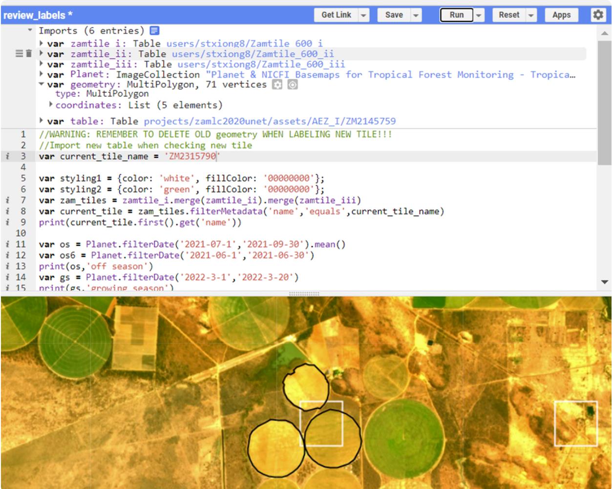
This project looked at using Random Forest Algorithms to classify small parcel cropland in Zambia. Using Google Earth Engine, we tested to see what type of satellite imagery - Landsat8 or Planet Imagery- would produce the most accurate classification of cropland.
Check out the full work on GitHub