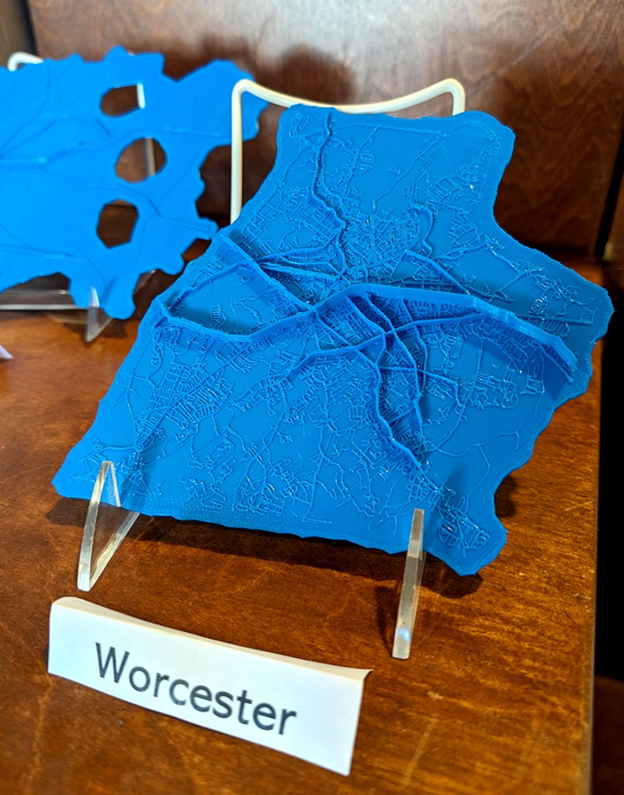
3D Printing Maps
I'm always interested in exploring different ways of presenting data. I've recently been dabbling in 3D-printing maps to try to create both a visual and tactile experience with data. These maps represent streets in Massachusetts and the number of pedestrian and cyclists crashes in the cities.
Read my blog post about producing the maps or check out my presentation at NACIS 2024 on how to build 3D maps using Blender.